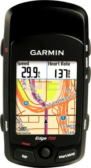
My last blog was about my beloved Polar 720Si. I’ve now gone to the other side of the fence to try out the Garmin 705. Why didn’t Polar come up with a GPS model earlier? I want a GPS so I can go out and take routes that I would never have dreamed of and not fear getting lost or wasting my time going down routes I’d rather not take. I don’t mind taking a map with me but I rarely bother to copy the pages and have them ready in my back pockets. It’s not to bad getting around in Japan and after 15 years here I know my way around pretty well. I is easy to get lost though and I’d like to do some long rides further away from home up into the mountains and especially up in Hakuba and Nagano where I’ve been spending a lot of time. Today I tested my Garmin Edge 705 for the first time in the hills and mountains around Hakuba. The unit arrived yesterday afternoon and it took a while to charge up the battery and fiddle around with all the settings. I took it for a 40km ride and was quite impressed with the GPS tracking and mapping. I’ll still use my Polar for races but I think the Garmin with it’s cadence alerts, heart rate alerts, training programs and maps is going to be my main choice for training and riding. I’m just downloading an English version map of Japan now to upload and go for another ride tomorrow and actually see the routes ahead. I plan on doing a big loop down into the valley, follow a long river up the back of the mountain range between Hakuba and Nagano then take route 406 to the top of the mountain and back down into Hakuba home. I’ll make a comparison to my Polar charts below as well for the hill climb ride I usually do up here and show you the differences of data.
